Sponsored vectors from Shutterstock
Click to save 20% sitewide with code MAPS20
Free Editable SVG Maps of North America
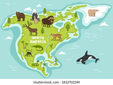
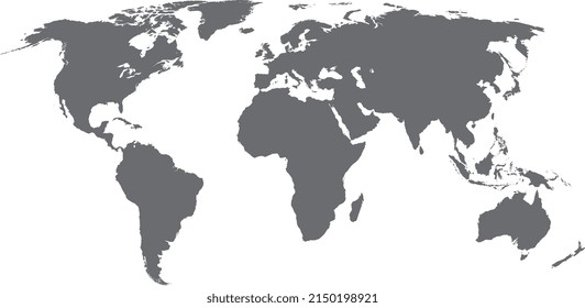
These free, editable SVG maps of North America include clean country and state boundaries of the region, suitable for presentations, design projects, educational materials, and data visualization. The scalable vector format ensures maps can be resized and customized without losing quality.
101 to 150 of 448 results


